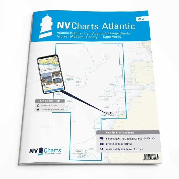
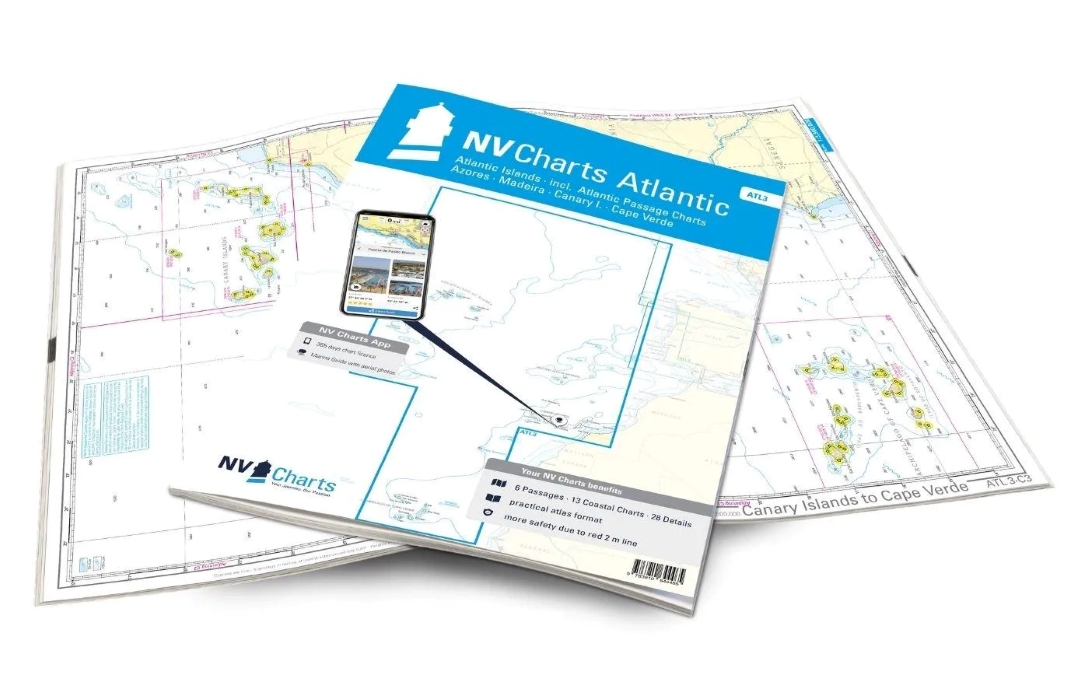
NV Charts Atlantic ATL3: Atlantic Islands
€74,99
Subtitle: incl. Atlantic Passage Charts – Azores – Madeira – Canary I. – Cape Verde
Manufacturer: NV Chart Group
If you want to embark on the great adventure of crossing the Atlantic, the NV Charts Atlantic ATL3 is ideally equipped. Thanks to the clear layout, the recreational skipper can quickly find approaches, harbours and anchorages and is informed of navigationally important details that also appear in the NV Charts app. The chart series impresses with its optimised dimensions and balanced sheet sections. The Atlantic Islands – the archipelagos of Madeira, the Canary Islands, the Azores and Cape Verde – are also described in detail in this atlas. If you want to go there, you may be drawn even further towards the Caribbean. But the map set is also ideal for travelling to or from the respective island groups.
One of the best-known archipelagos are the Spanish Canary Islands. These are characterised by a diverse landscape. Lanzarote is known for its black lava rocks and beaches, while Tenerife is often associated with the Pico del Teide, the highest mountain in Spain. Incidentally, it can also be admired from the water. Those who appreciate greenery will be happy on La Palma, the largest island in the Canary Islands. Madeira, which lies to the north of the Canary Islands, is also worth a stopover. The smaller Portuguese archipelago is characterised by its mountainous landscape, which even extends to the coast. To the south of the Canary Islands are the Cape Verde Islands. This independent archipelago is not yet a tourist magnet and is also very varied, which is why a trip there is definitely worthwhile if you have enough time.
This map set includes:
- 6 Passages
- 13 Coastal Charts
- 28 Detailes
- Digital charts for navigation program and NV Charts App 356-day licence
- Navigation instructions in English
- Tide tables
- Harbour plans paper & digital
Edition: 2024

at the bookshop, within 24h

Italy, 3-4 days

and Carta Cultura accepted