nv charts greece GR1: ionian islands & peloponnese – albania
€74,99
Manufacturer: NV Chart Group
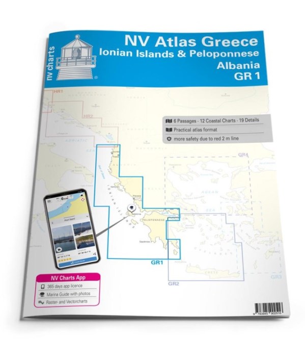
The GR1 takes you over the coast of Albania to the Ionian Islands and the Peloponnese peninsula. The Albanian coast offers great potential for explorers and has diverse coastal towns. On your journey along the small, south-eastern European country, you should definitely plan a stopover in the picturesque seaside resort of Ksamil and a little further south are the ancient ruins of the famous city of Butrint, which is an UNESCO World Heritage Site with the surrounding 9500 hectare national park. This set of nautical charts then leads you to the Ionian Islands, which are located in the western part of Greece in the Ionian Sea. Including the well-known islands of Corfu, Lefkas, Kefalonia, Zakynthos and a large number of smaller islands such as Paxos, Skorpios and Kalamos. The southern border of the chart set is the Peloponnese region. The peninsula in the southern part of mainland Greece receives international mention for its beautiful coastline and the hospitality of its people. The most famous cities in the region are Patras in the north, as well as Corinth in the east, Sparta in the south and Olympia in the west. The area is equally attractive for sailors and motorboat drivers, you can find additional literature for the region in our online shop under the tour guides.
Thanks to the clear structure, the skipper can quickly find approaches, harbours and anchorages and is informed of important navigational details that also appear in the NV Charts app. The chart series impresses with its optimal scales and balanced sheet cuts.
- 6 oversailers
- 12 district maps
- 19 details
- Digital maps included
- new: Vector charts download
- nv charts app and navigation software
- Paper & digital harbour maps
- Navigation instructions in English
Edition: 2022

at the bookshop, within 24h

Italy, 3-4 days

and Carta Cultura accepted