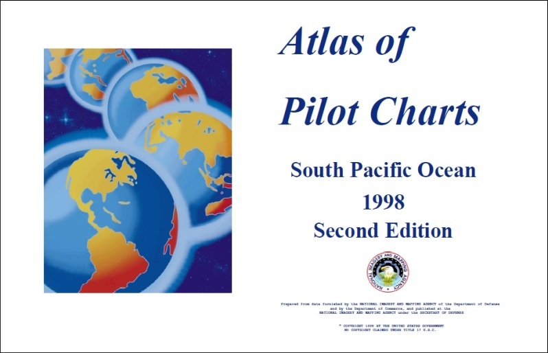
atlas of pilot charts
€56,00
Subtitle: south pacific ocean
Author: nima
Manufacturer: nima (national imagery and mapping agency)
ISBN: 80642761
An atlas of twelve pilot charts, each depicting the observed conditions for a particular month of any given year. Pilot Charts depict averages in prevailing winds and currents, air and sea temperatures, wave heights, ice limits, visibility, barometric pressure, and weather conditions at different times of the year. The charts are intended to aid the navigator in selecting the fastest and safest routes with regards to the expected weather and ocean conditions. The charts are not intended to be used for navigation.
Cm 68×43

Free pickup
at the bookshop, within 24h
at the bookshop, within 24h

Shipping from €7.00
Italy, 3-4 days
Italy, 3-4 days

Carta del Docente
and Carta Cultura accepted
and Carta Cultura accepted