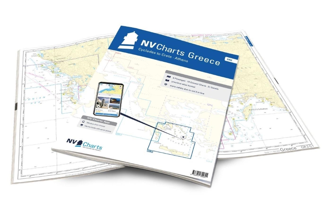
nv charts greece GR2: cyclades to crete – athens
€74,99
Manufacturer: nautische veroffentlichung (nv charts)
ISBN: 9783910644601
1 in stock (can be backordered)
1 in stock (can be backordered)
Description
Our pack of charts GR2 takes you from the Cyclades in the Aegean Sea to Crete. Thanks to the clear layout, the recreational skipper can quickly find approaches, harbours and anchorages and is informed of navigationally important details that also appear in the NV Charts app. The chart series impresses with its optimised dimensions and balanced sheet sections.
Picturesque villages, white sandy beaches and the typical Greek serenity on the islands make the Cyclades one of the most popular holiday regions for skippers in Greece. The islands are relatively close together, so you can visit many of the unique islands such as Mykonos, Naxos and Paros with its charming rocky bays even on short trips. A unique highlight of the Cyclades is of course the island of Santorini, which is one of the most beautiful islands in Europe with its whitewashed shores and blue domed cliffs. If you are looking for picturesque bays, wild nature and ancient towns, you should not miss the island of Syros. Here you can marvel at the pastel-coloured, classicist villas and historic domed buildings from the sea. Crete forms the southern border of the Cyclades. Crete is the largest of the Greek islands and delights visitors with its idyllic bays, beautiful beaches and well-developed marinas.
This map set includes:
- 6 passages
- 14 district maps
- 21 detailed maps
- Digital charts for navigation program and NV Charts App 356-day licence
- Navigation instructions in English
- Harbour plans paper & digital
- Fulfils all legal requirements for up-to-date paper charts on board
Edition: 2024


