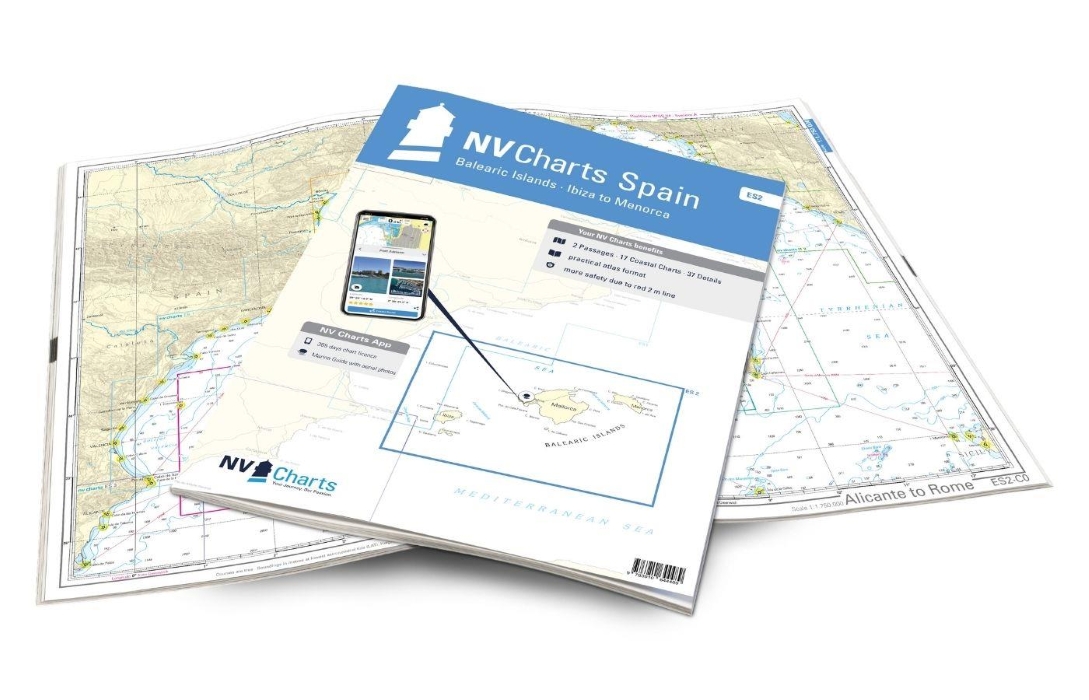
nv charts spain ES2: balearic islands
€64,99
Sottotitolo: ibiza to menorca
Produttore: NV Chart Group
The NV Charts Atlas ES2 is the perfect companion for the Balearic Islands. Thanks to the clear layout, the recreational skipper can quickly find approaches, harbours and anchorages and is informed of navigationally important details that also appear in the NV Charts app. The chart series impresses with its optimised dimensions and balanced sheet sections.
The Balearic Islands are a very popular water sports region. This is reflected in the many charter companies and the busy harbours. With the ES2, you can choose between the four islands of Ibiza, Formentera, Mallorca and Menorca or, of course, visit all four islands if you have enough time. If you are coming from the Spanish mainland, Ibiza is the first port of call. If you prefer things a little more relaxed, you should also pay a visit to Formentera. As the largest island, Mallorca offers the most diverse landscape between beautiful beaches and bays and mountainous regions, some of which even reach the coast. However, as anchoring is not permitted in every bay, a travel guide and a nautical chart are very important for a relaxed trip. The marvellous east coast of Mallorca also invites you to take a dip in Menorca – little hustle and bustle, but plenty of nature awaits you on this island. There is a good chance of finding a secluded bay.
This map set includes:
- 2 passages
- 17 district maps
- 37 detailed maps
- Digital charts for navigation program and NV Charts App 356-day licence
- Navigation instructions in English
- Harbour plans paper & digital
- Fulfils all legal requirements for up-to-date paper charts on board
Edition: 2024

presso la libreria, in 24h

Italia, 3-4 giorni

e Carta Cultura accettate