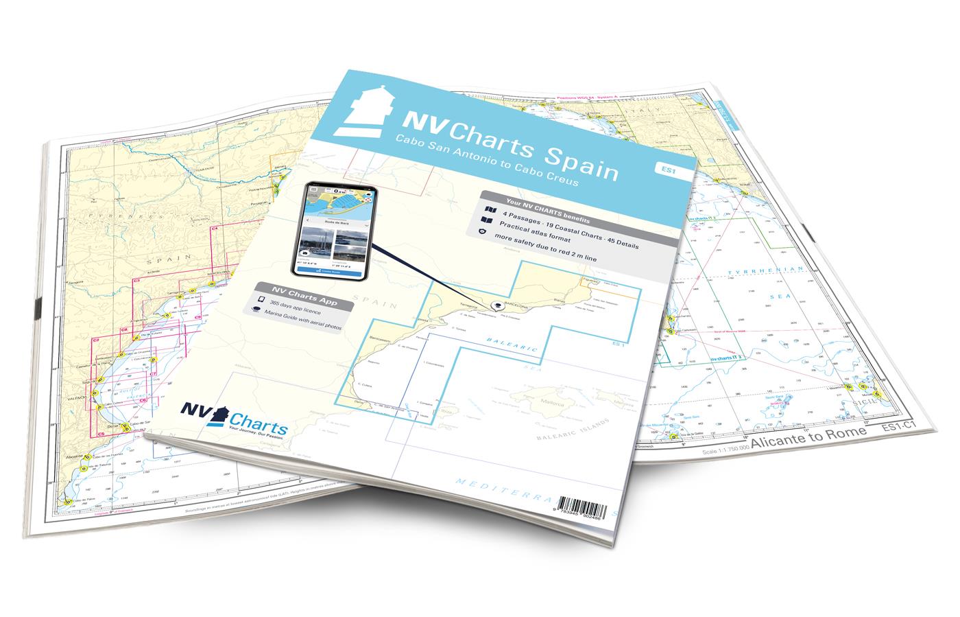
nv atlas spain ES1: cabo san antonio to cabo creus
€64,99
Produttore: NV Chart Group
The ES1 starts at Cabo de San Antonio, in Valencian Cap de Sant Antoni. Whales and dolphins have already been sighted at this cap near Denia, north of Alicante. Denia has some ports and marinas, as the route from the Balearic Islands to the mainland is the shortest from there. After circumnavigating the cape, it goes over the Gulf of Valencia on the coast directly to the city of Valencia. This is definitely worth a stopover, as it is known for its mix of modern and historic buildings, among other things. There are countless beaches and many well-equipped marinas in the north of Valencia.
The Ebro Delta, which is still relatively little frequented by tourists, is an insider tip. From there it is not far to Barcelona. This most attractive city in Spain is not considered a tourist magnet for nothing. The unique architecture and culture of Catalonia should not be missed there. The further course of the coast of Catalonia extends from Barcelona to the French border. Predominantly rocky, in the Pyrenees mountainous area, the coast presents itself with numerous bays, the calas, which often end in flat sandy beaches. Lots of vegetation and pine forests provide color accents. In general, the Catalonia area has a lot to offer in terms of water sports. Costa del Garraf, Costa del Maresme and the wild coast of the province of Girona – the Costa Brava – are the names of the stretches of coast that accompany you north to the French border. The most easterly point of the Iberian peninsula – the Cap de Creus – is located on a peninsula that protrudes 10km into the Mediterranean Sea. This nature park is definitely worth a visit.
Thanks to the clear structure the skipper can quickly find approaches, harbours and anchorages and is informed of important navigational details that also appear in the NV Charts app. The chart series impresses with its optimal scales and balanced sheet cuts.
- 4 passage charts
- 19 coastal charts
- 45 details charts
- Code for the app
- Digital charts & navigation programme
- Paper harbour plans & digital
- Navigation instructions in English
Edition: 2023

presso la libreria, in 24h

Italia, 3-4 giorni

e Carta Cultura accettate