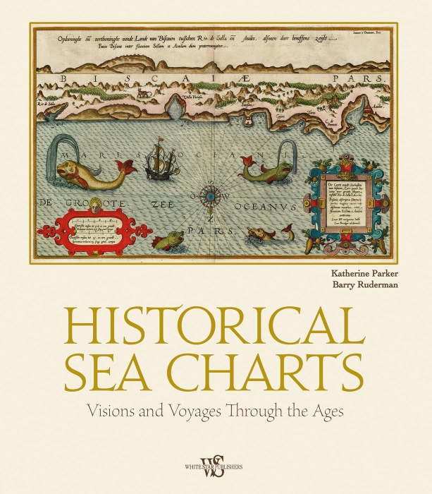
historical sea charts
Sottotitolo: visions and voyages through the ages
Autore: katherine parker – barry lawrence ruderman
Editore: White Star Publishers
As with many historical objects, nautical charts are admired for their charm and aesthetic appeal. They are windows into how a past world saw the oceans and seas, rivers and ports. Embark on a voyage to learn the history of European charting from the Fifteenth to the Nineteenth Century and discover the stories hidden in the details of a nautical chart.
Nautical charts are visual tools which convey a plethora of information quickly. The help a navigator to find their bearing, indicate possible dangers and obstructions and, in many cases, estimate distance. To achieve this, charts employ a specific set of symbols and features distinct from terrestrial maps and born of centuries development. The stories of how the styles and structures of charts have shifted over time are the work of this book.
Charts were designed with not only utility in mind, but also aesthetics. They were created as presentation items for patrons and institutions or were items made for a land-bound audience eager to understand more about the watery edges of empire and commerce. They were meant to convey the power and wealth of a company or state and they suggest the centrality of seafaring trade and travel to human history.
In the European context, which is the main focus of this book, navigation shifted from a practice based on experience and intuition to one dominated by mathematics and instrumentation over the course of nearly a millennium. Currently, it is undergoing another shift, from mathematics and instrumentation to electronics and data analysis. But the modern charts in use today find their lineage in the portolan charts of the Mediterranean from the late Medieval period, as this book will show chapter by chapter and century by century.
Edition: 2020

presso la libreria, in 24h

Italia, 3-4 giorni

e Carta Cultura accettate